|
| Samples |
| |
 |
| |
| For interviews and sample images see below: |
| Original Pictures, British Columbia |
| |
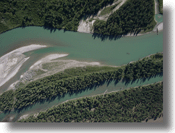 |
This link provides 12 images taken at 2100 feet of a river in British Columbia. They are stitched together using PT-GUI
Download sample images. |
| Video |
| |
| Video is pulled directly off the Pentax camera and sent to a base receiver where the laptop and/or monitor can pickup the signal. The camera gives a 640x480 video image at 30 fps and the system has a usable range up to and beyond 1 mile. The transmitter is quite small and light, it adds maybe an ounce to the airplane, the power in can be taken from the autopilot LIPO, so no extra battery is needed. Power consumption is only 100 MA every 10 minutes. |
| |
| A simple Velcro attachment to the bottom of the wing is all that’s needed for mounting. A few more leads are used to attach to the camera and for power. It is quite handy in that you can view and record a video image, and then take a full size picture any time using the picture button in horizon when something good comes into view. |
| |
| Attached is video taken at 400 feet, the black dropout is when the picture was taken at the waypoint. |
| |
| click here to download the video[WMV] |
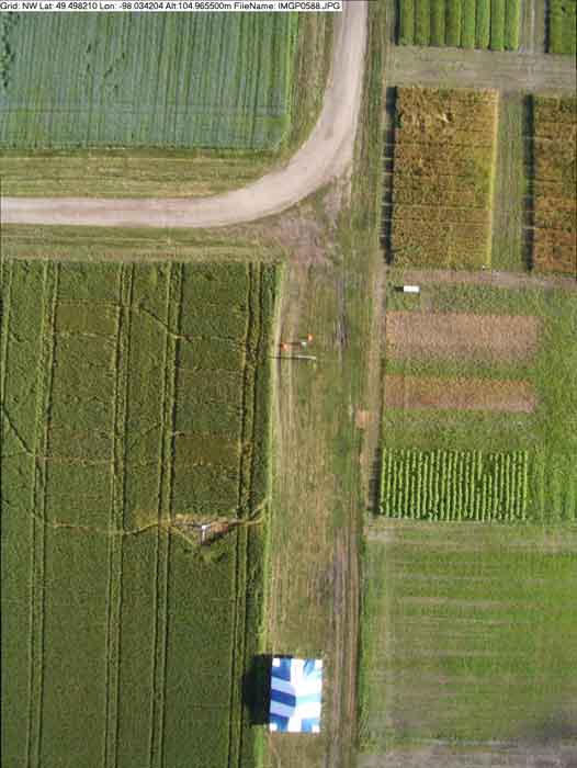
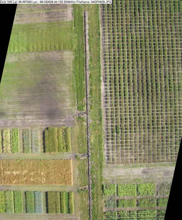
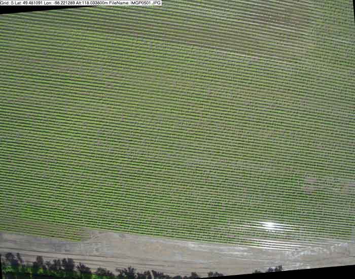
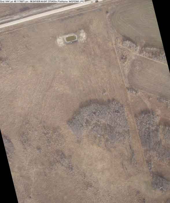
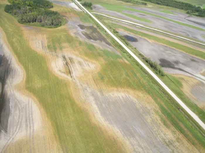
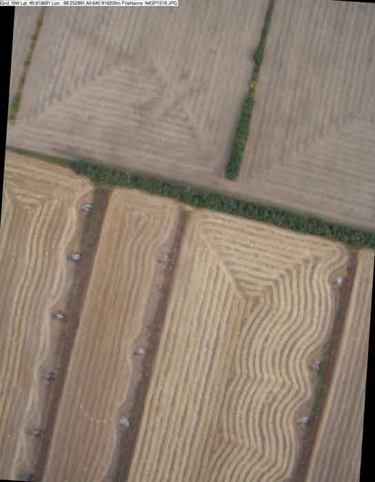
| University of Manitoba, Experimental Farm, Taken at 400 feet, July 21, 2005 |
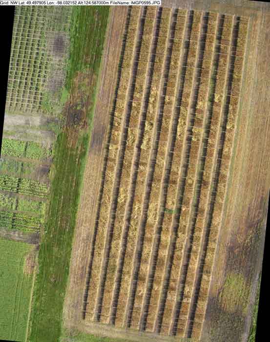
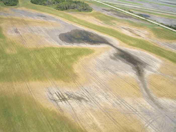
| Kroeker Farms, Potatoes, Taken at 400 feet, July 21, 2005 |
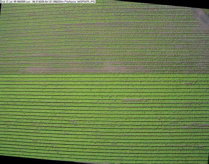
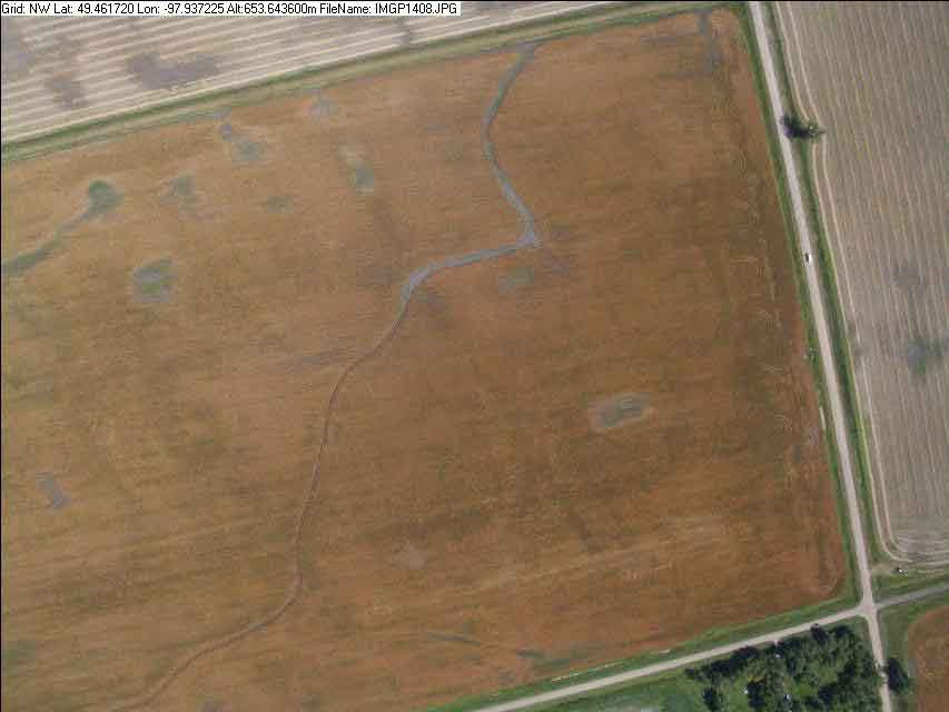
| Cargill, Canola, Taken at 2100 feet, August 9, 2005 |
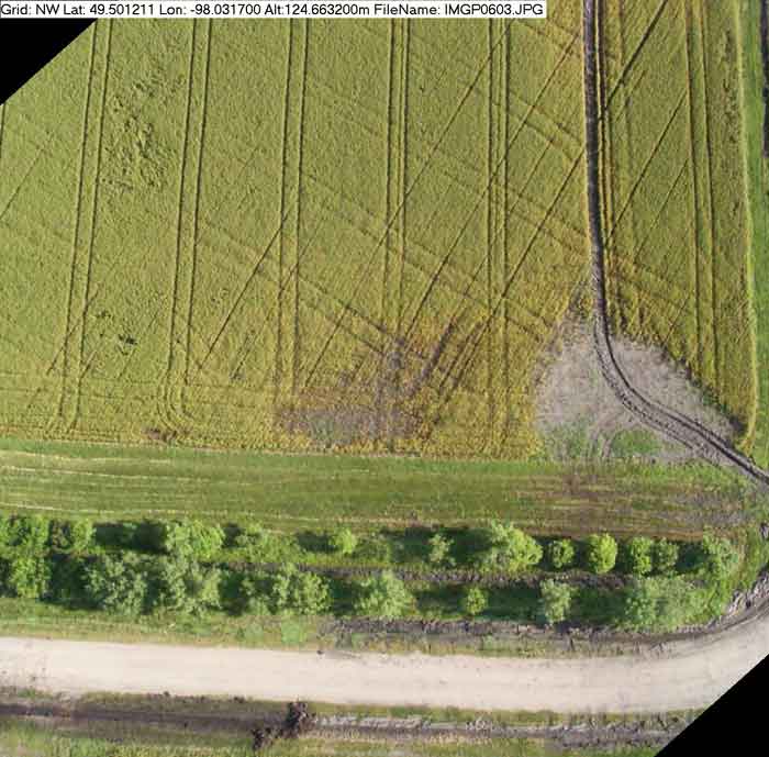
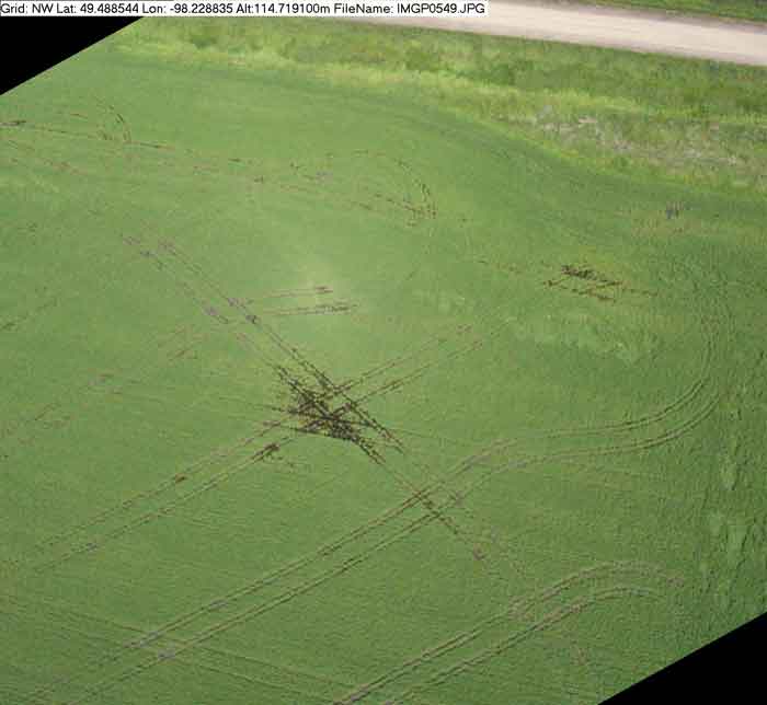
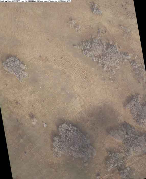
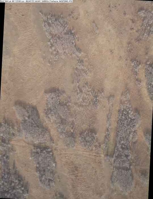
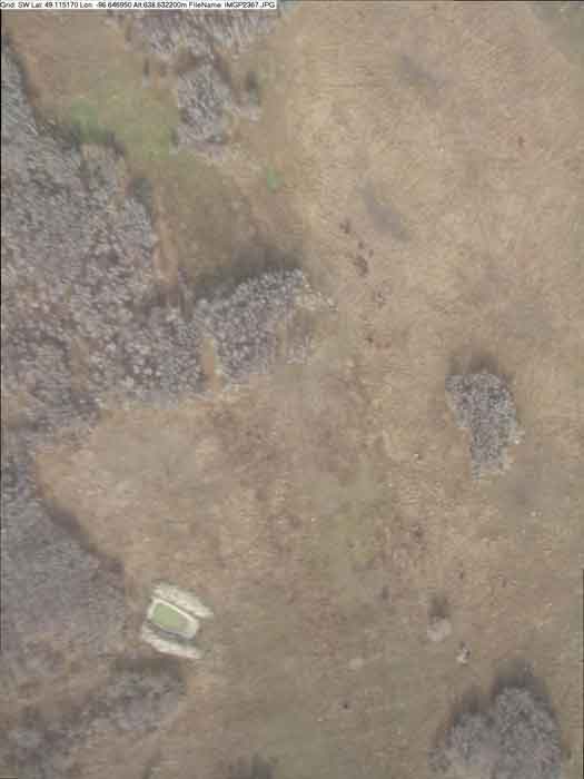
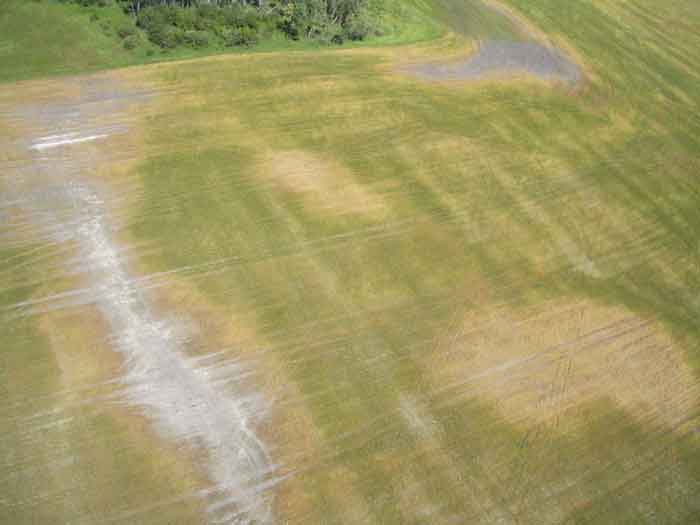
| Nature Conservancy of Canada – Manitoba Region, Experimental Grazing Plot on the Tall Grass Prairie Reserve, Taken at 2100 feet, October 20, 2005 |
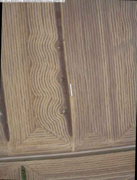
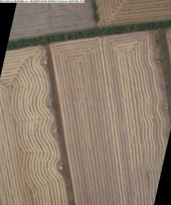
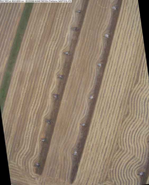
| Using an Angle Box, Wheat, Taken at 400 feet, on August 19, 2005 |
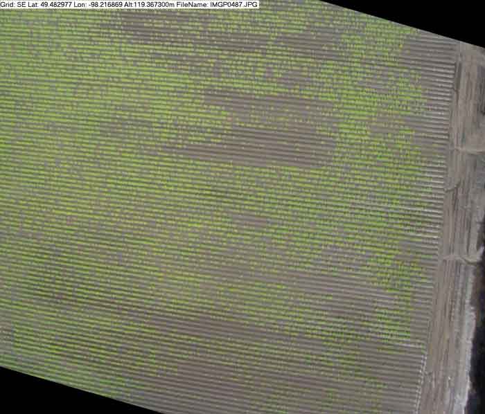
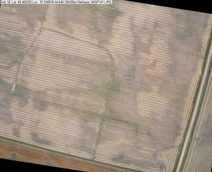
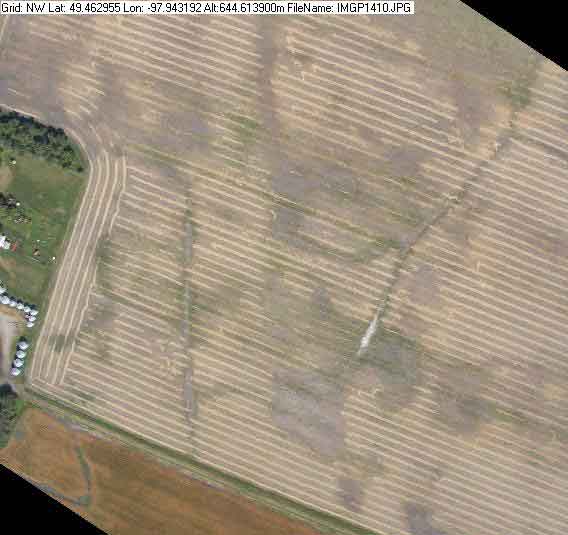
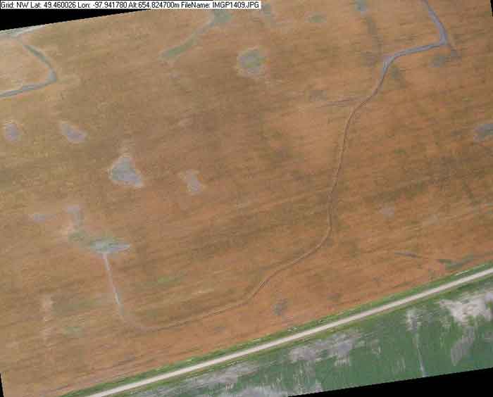
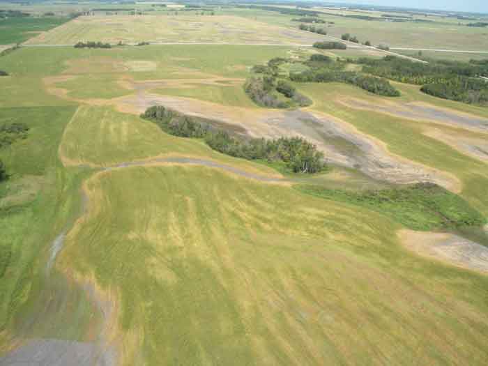
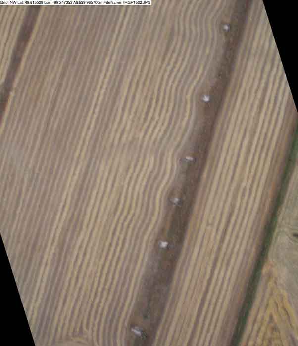
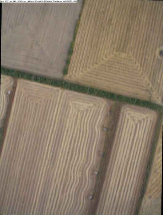
| Assiniboine Community College, Hay Test Field, Taken at 2100 feet on September 19, 2005. |
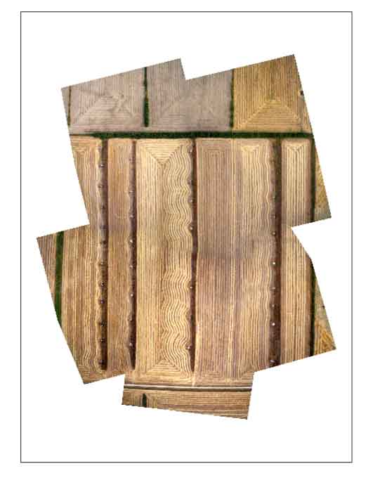
| Hay Test Field images taken at 2100 feet on September 19, 2005
to create a mosaic |
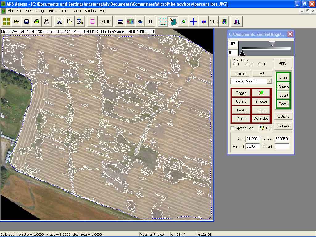
| Gary Martens, Faculty of Agricultural and Food Sciences at the University of Manitoba used the (.tfw) canola images taken at 2100 feet on August 9, 2000 in APS Assess Software. |
|
|